


VIDEO: San Dimas Station Art: “A Sense of Place” By Eugene Daub and Anne Olsen Daub
About the Artists
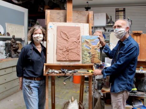
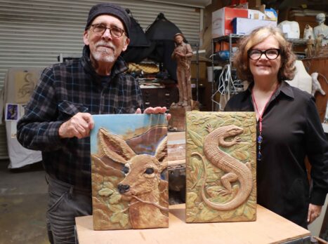
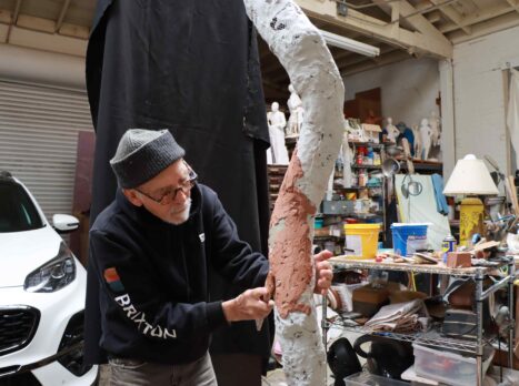
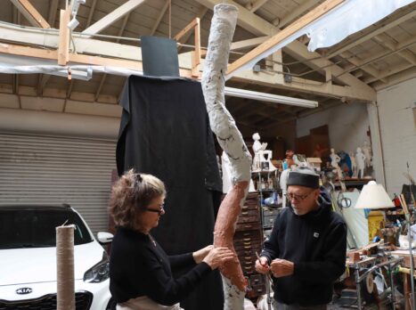
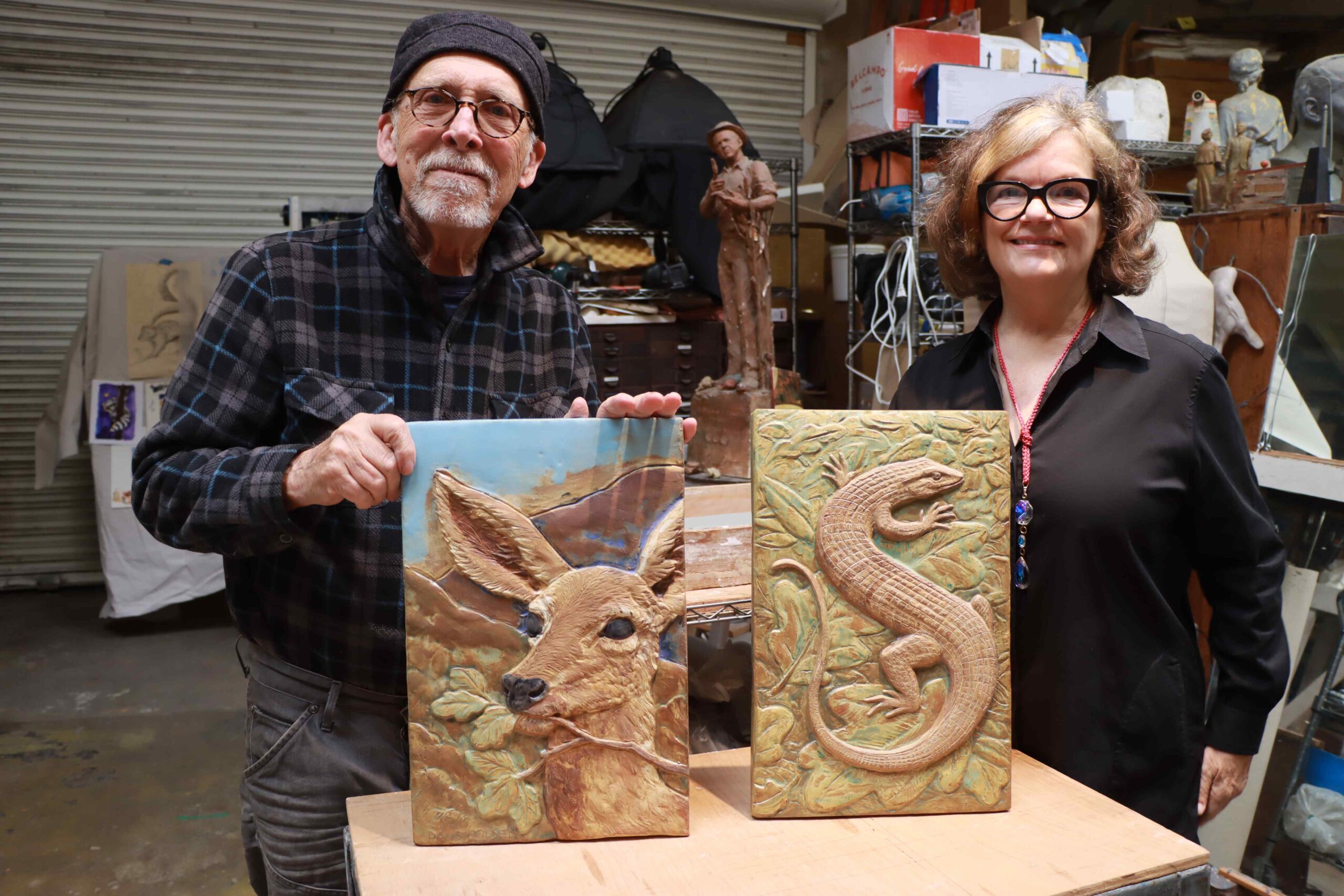
Eugene and Anne Olsen Daub
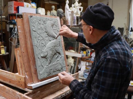
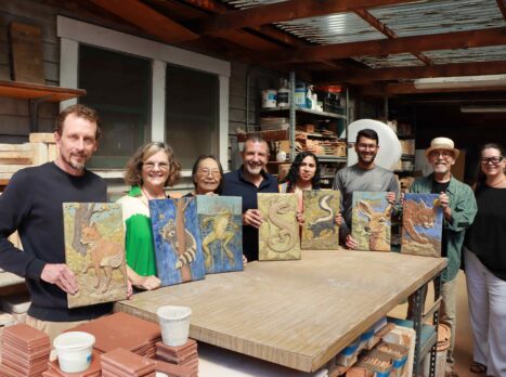
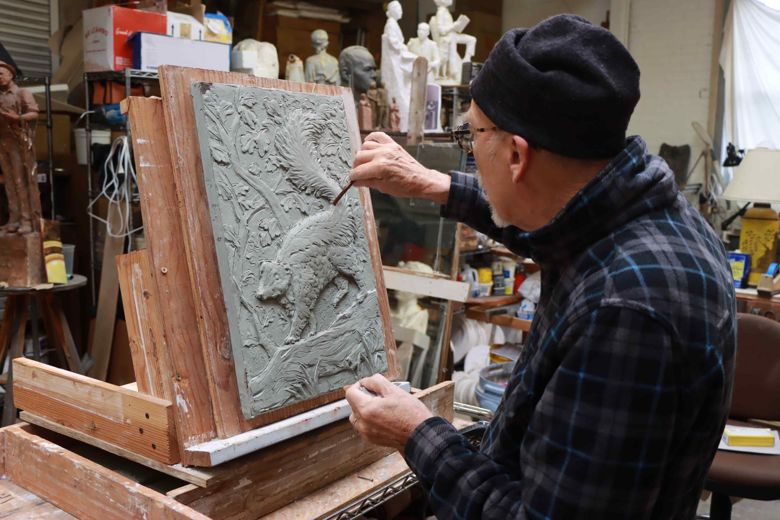
Eugene Daub is a San Pedro based artist nationally recognized for his sculpture and Bas-relief work. He is also the vice-president of the American Medallic Sculpture Association and a Fellow of the National Sculpture Society. Over the years, Eugene has designed and created sculpture for three of the nation’s capitals including a statue of Rosa Parks in statuary hall in Washington DC in 2013. Other public works can be found at private foundations, churches, universities, museums and urban landscapes across the country.
Eugene studied at the University of Pittsburgh, Pennsylvania Academy of Fine Art. He later taught at the Pennsylvania Academy of Fine Art and Rutgers University in New Jersey and the Academy of Arts University in San Francisco.
Anne Olsen Daub was educated at Fresno City College and Otis College of Art and Design in Los Angeles. She also lives in San Pedro and for has had a career in the in the fashion industry and at Mattel. Anne has returned to her love of painting and mixed media sculptures. She explores the use of color, fabric, found objects, corrugated paper and architectural elements in her work. Since 2002, Anne founded a line of one of a kind jewelry fashioned by hand for adornment of all people. Anne works intuitively to rethink, reimagine, conceptualize, and manipulate objects into unique and timeless mini pieces of art. These works exemplify uniqueness, character, imperfection, and conceptual archetypes.
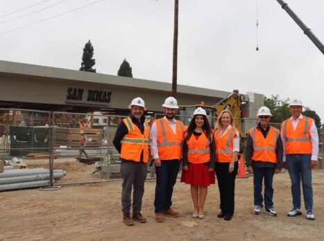
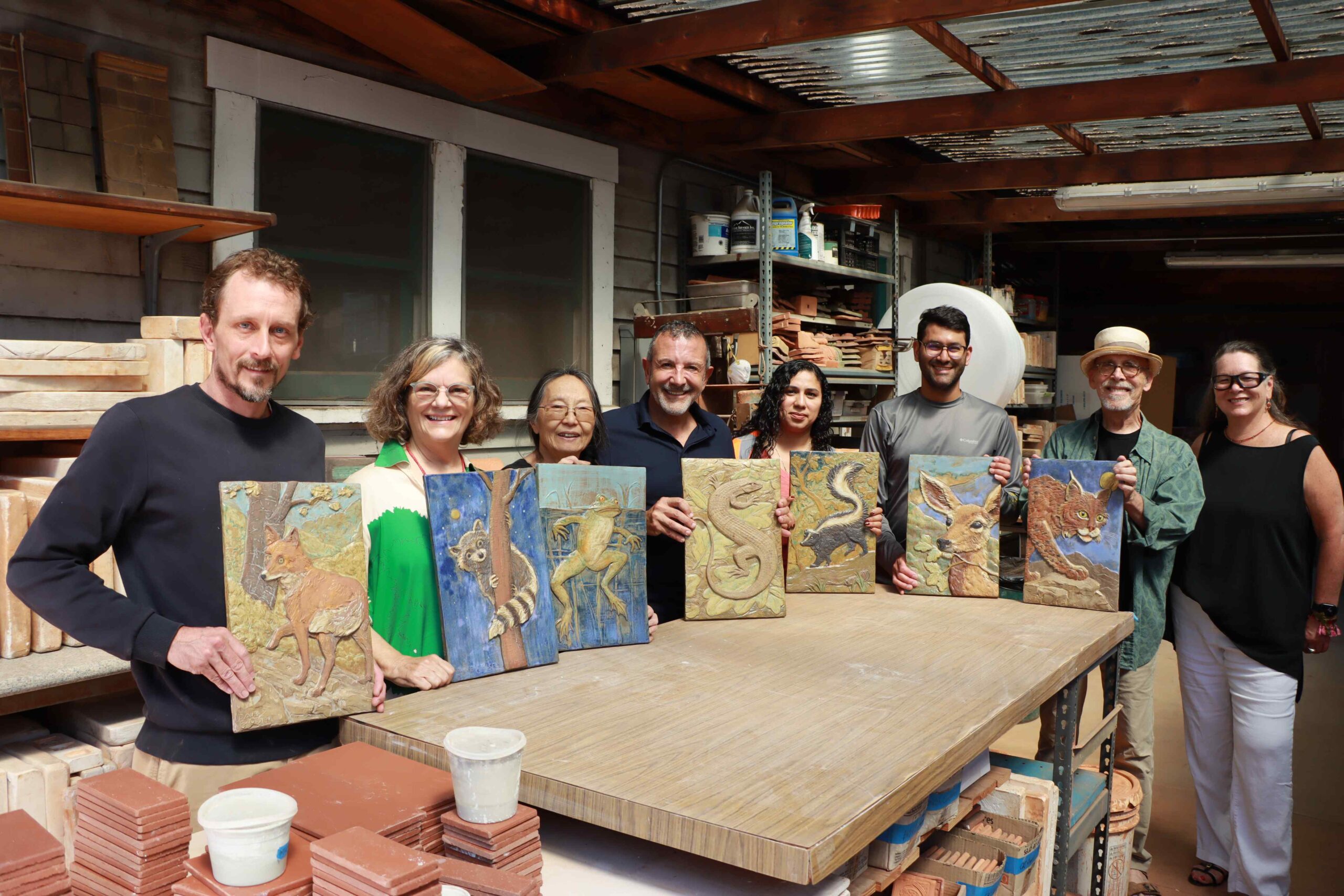
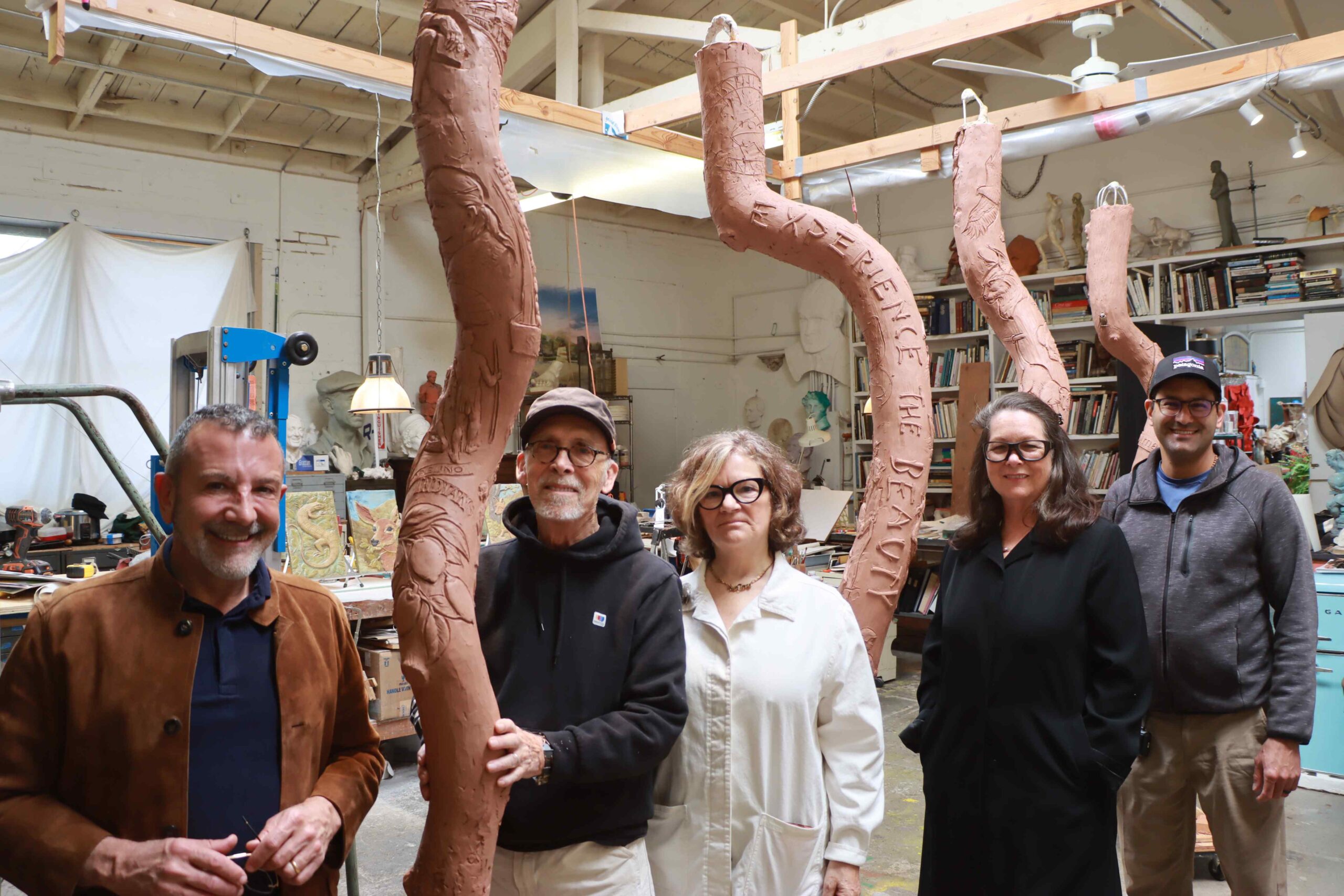
Eugene and Anne have exhibited their artworks together and separately in various galleries and museums in the Southern California region. Based on their design concept, Eugene and Anne were selected by the city of San Dimas’ Station Design and Art Review (SDAR) Committee, later ratified by the city council, in 2005.
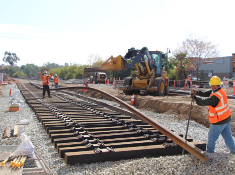
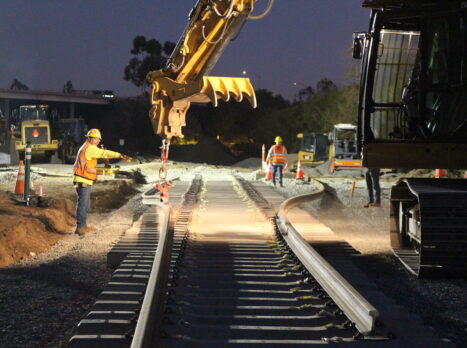
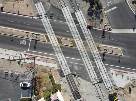
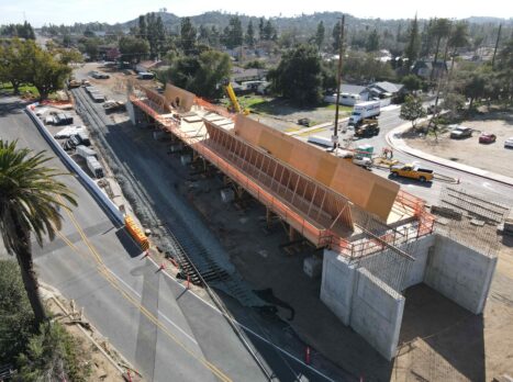
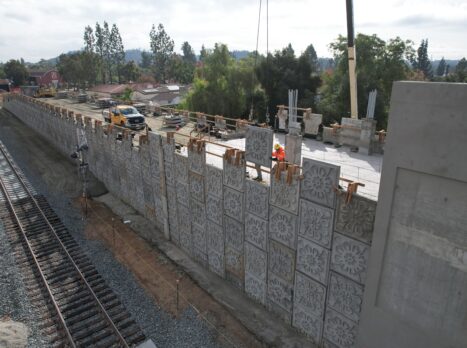
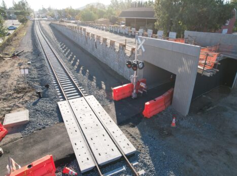
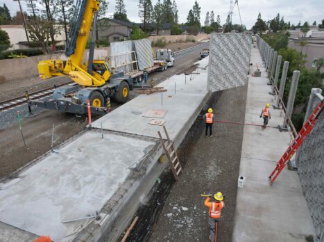
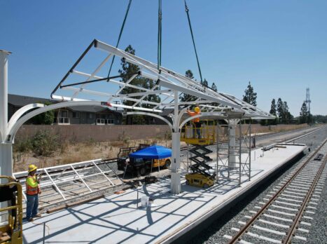
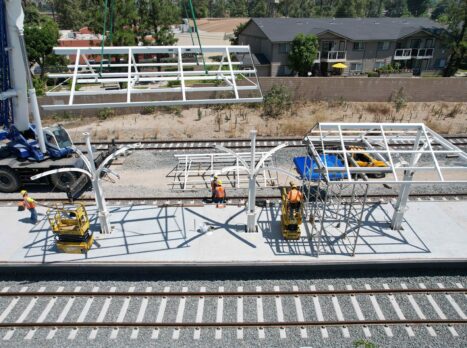
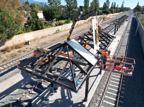
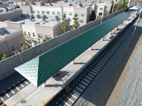
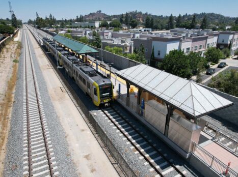
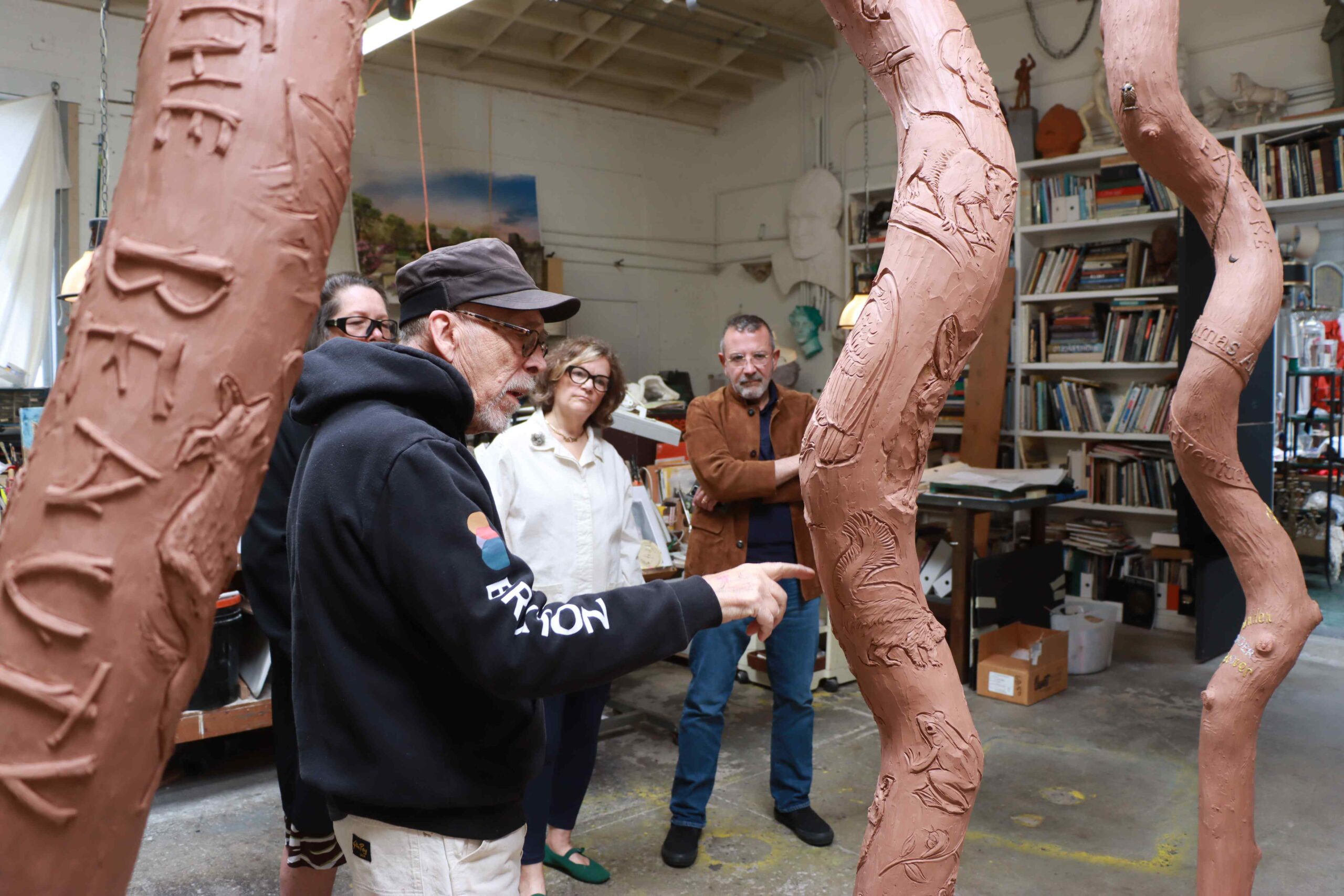
Station Art Plan
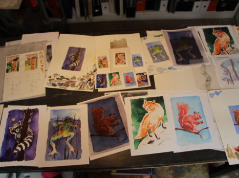
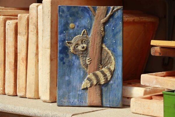
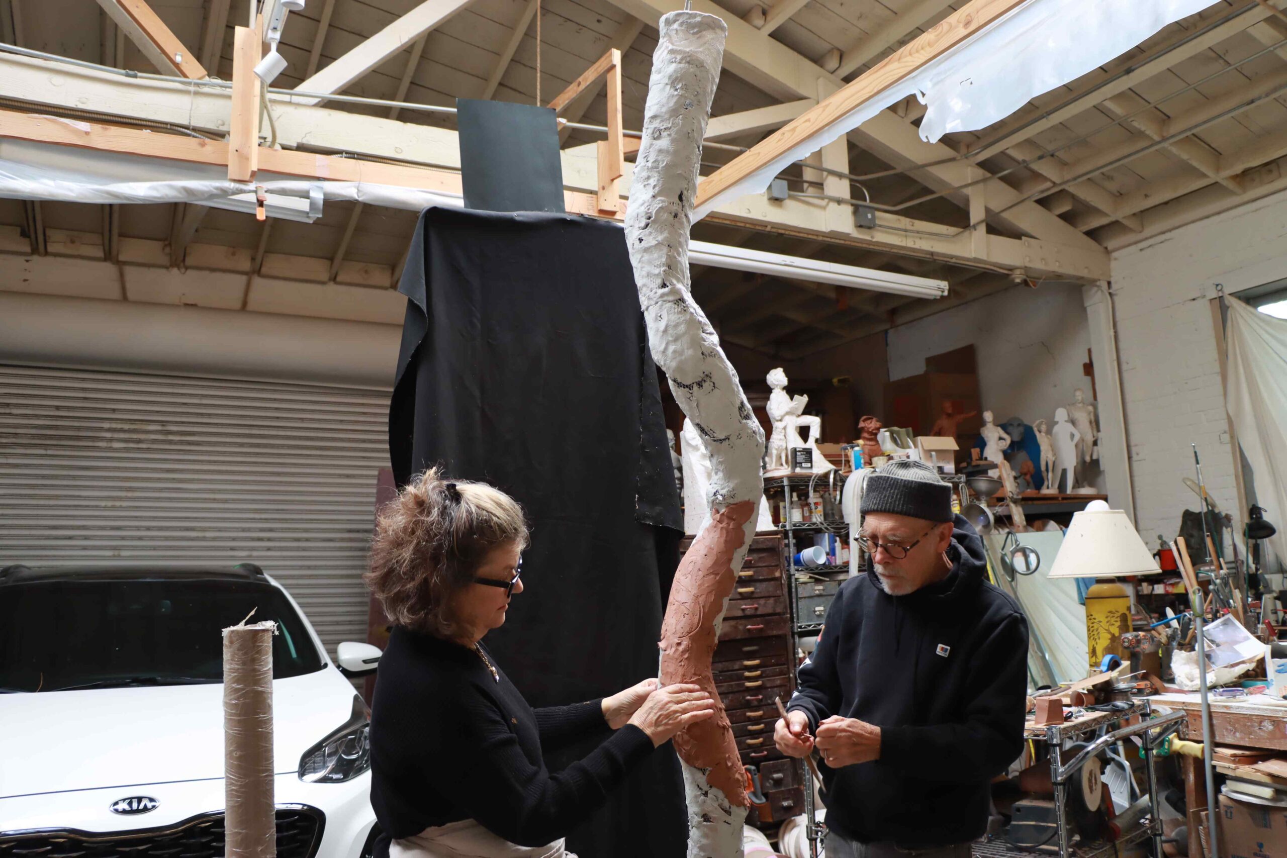
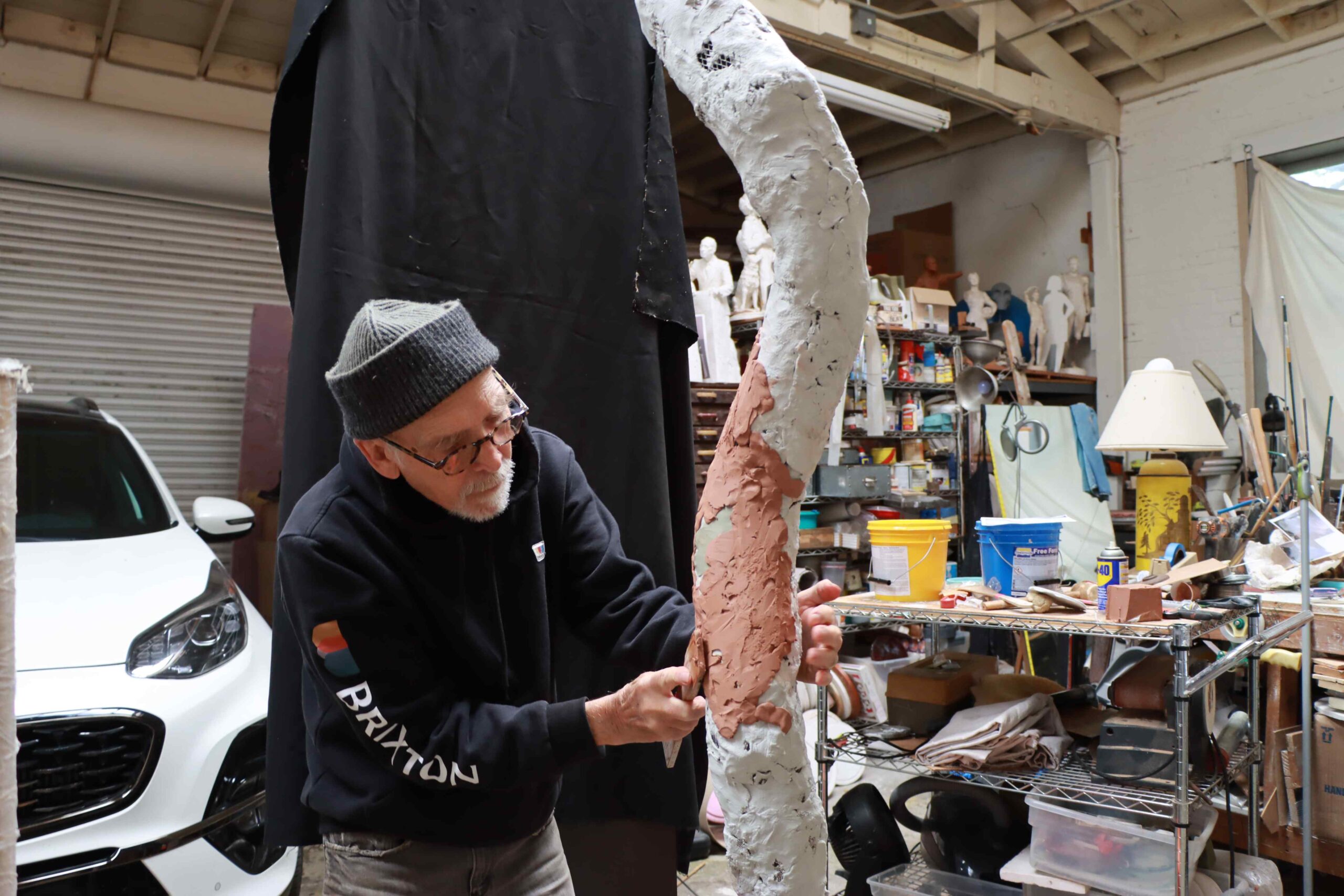
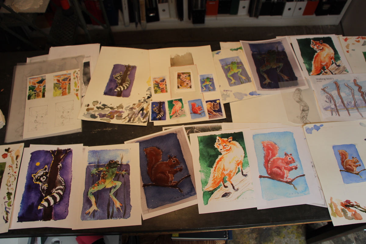
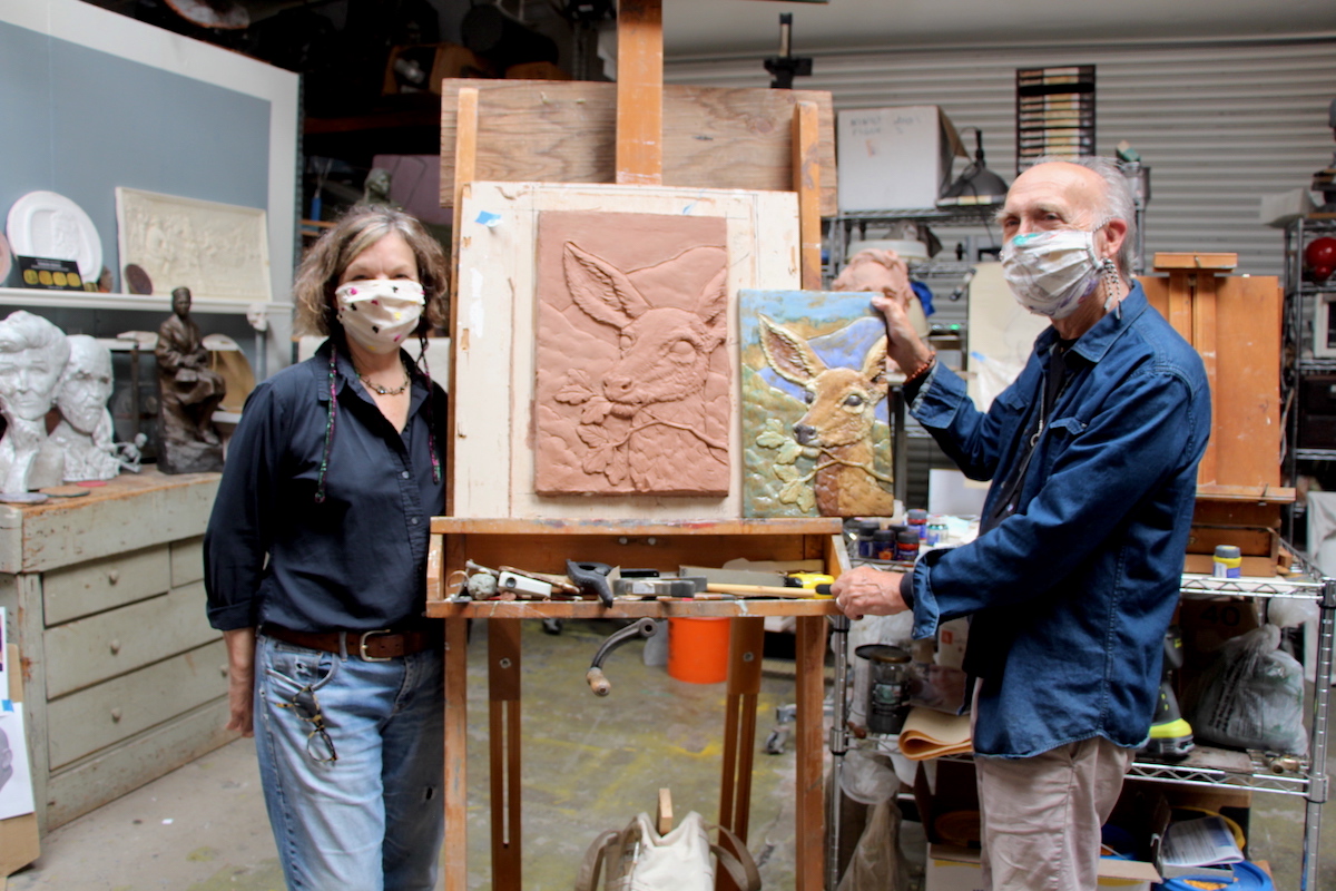
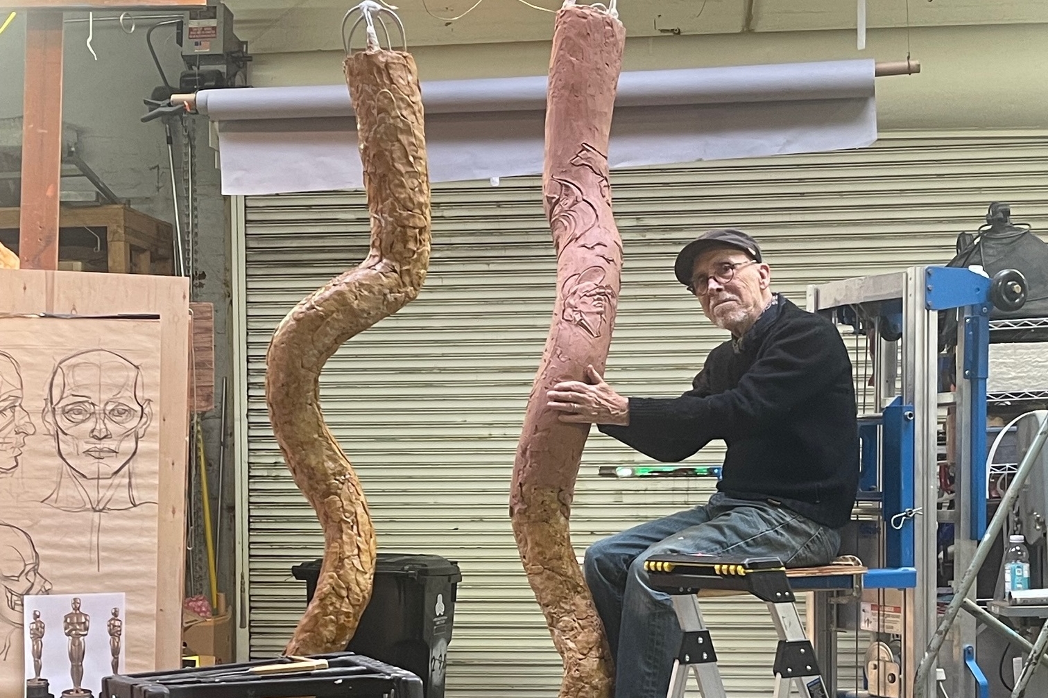
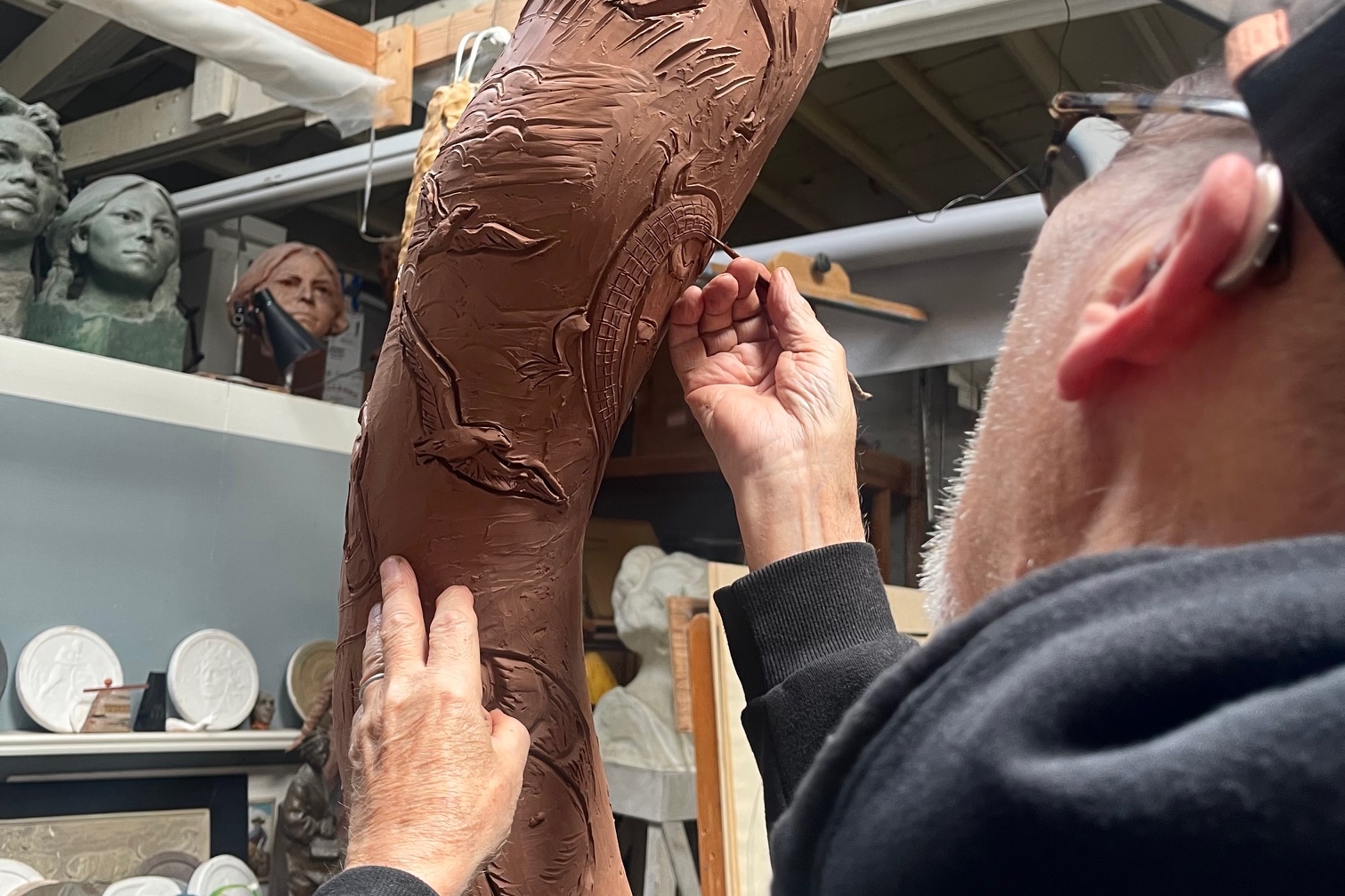
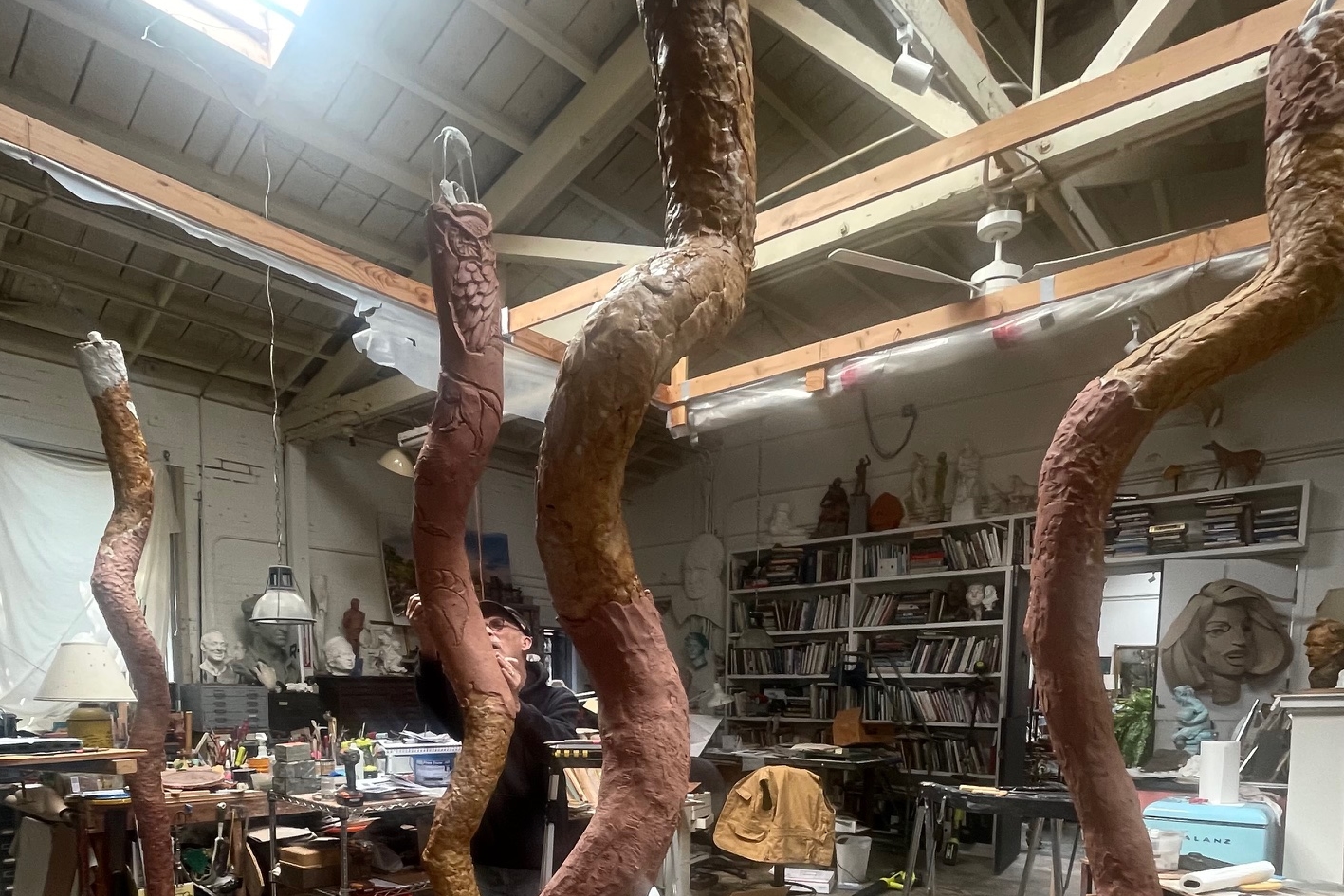
Their artwork will capture the city’s special “Sense of Place,” born of a unique history in the citrus industry, a connection with the land, water and geography, its flora and fauna, along with cultural and community events and activities. There are no less than 25 parks and countless trails and hiking paths in the city. The station’s various artworks celebrate the wonders of the parks, mountains and local history. A series of larger than life “walking sticks” located on the platform are inspired by the bucolic surroundings of the local natural environment. The four bronze walking sticks are highly embellished and remind the viewer of unseen wonders and majestic vistas of the San Dimas area. They evoke a sense of exploration and discovery. They are an ageless symbol of the explorer in all of us. The Daub team will also be creating 7 hand sculpted bas-relief ceramic panels that will be located on the canopy column bases of the station platform. The artworks created for the station are delightful and interactive and allow the viewer an opportunity to pause and reflect on the city’s unique character and place.
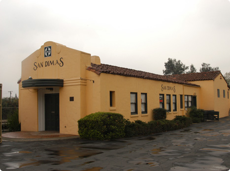
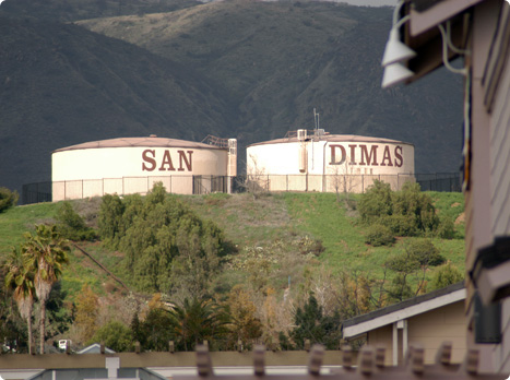
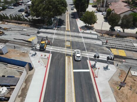
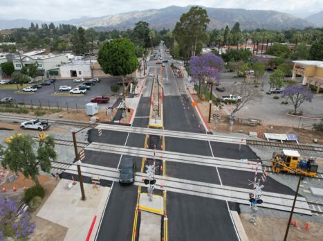
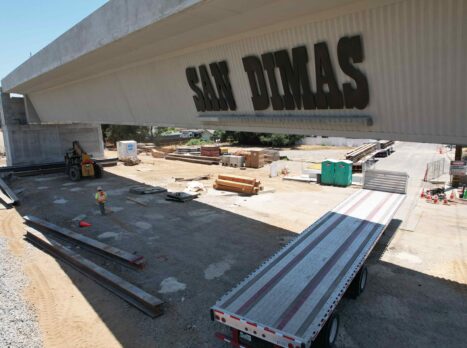
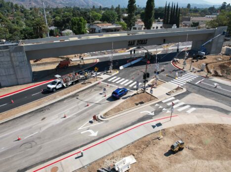
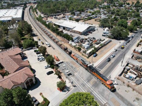
About San Dimas
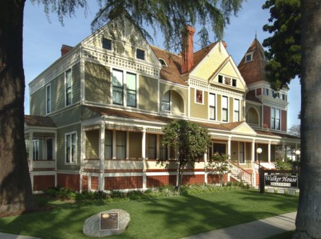
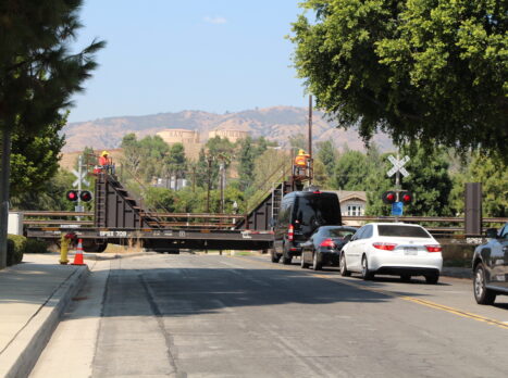
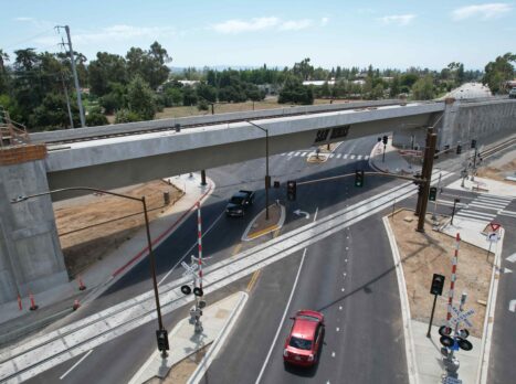
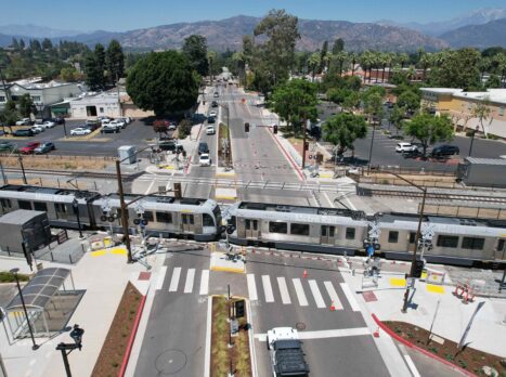
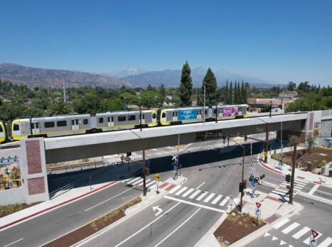
The City of San Dimas, located along historic Route 66, is bounded by the 210 (Foothill), 57 (Orange) and 10 (San Bernardino) freeways. Along with convenient access, the city boasts beautiful vistas of the San Gabriel Mountains as well as the Pomona and San Gabriel Valleys. The City’s distinct western style is most evident when visiting downtown shops, restaurants, museums and businesses. Wooden sidewalks and western storefronts lead visitors to the heart of downtown San Dimas. The City is located approximately 30 miles from downtown Los Angeles, has 35,000 residents and has an area of 15 miles. Visitors to San Dimas can enjoy many entertainment, shopping and cultural amenities. Whether stopping by to play golf, visit Raging Waters, California’s largest water park, shop at one of five shopping centers, or the Railroad Museum San Dimas is a prime destination for the whole family. In 2010, the city celebrated its 50th year as an incorporated city.
Learn more:
City of San Dimas – sandimasca.gov
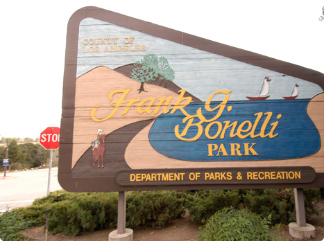
Frank G. Bonelli Regional Park – parks.lacounty.gov/frank-g-bonelli-regional-park
Historic Downtown San Dimas – sandimaschamber.org/points-of-interest/
Pacific Railroad Society – pacificrailroadsociety.org
Pacific Railroad Museum – pacificrailroadsociety.org/museum
Raging Waters – ragingwaters.com
San Dimas Chamber of Commerce – sandimaschamber.org
San Dimas Community Hospital – sandimashospital.com
San Dimas Historical Society – sandimashistorical.org
San Dimas Canyon Nature Center – sandimascanyonnaturecenter.com